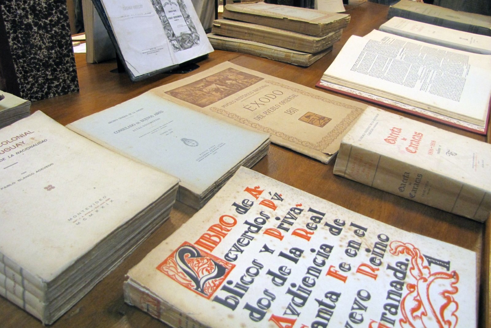
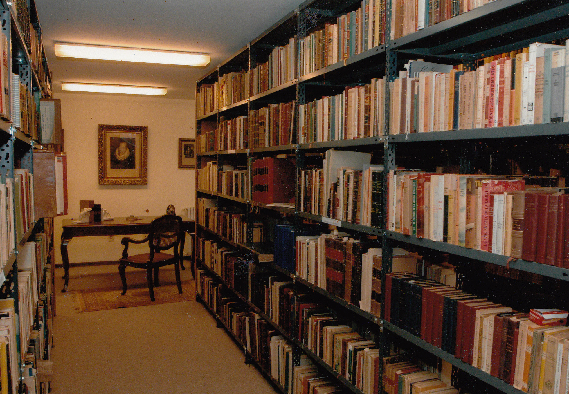
C.E.D.E.I.
A partir de esta página puede:
| Volver a la pantalla de inicio con las búsquedas... |
Información del autor
Autor Pîrî Reis (ca.1470-ca.1554)
Documentos disponibles escritos por este autor


 Refinar búsqueda Consulta a fuentes externas
Map of Pîrî Reis 1513 / Pîrî Reis ([197-?])
Título : Map of Pîrî Reis 1513 Tipo de documento: documento cartográfico impreso Autores: Pîrî Reis (ca.1470-ca.1554) Editorial: Istanbul : Topkapi Palace Museum Fecha de publicación: [197-?] Número de páginas: 1 mapa Il.: il. lám., (dibujo), col. Dimensiones: 59,5 x 47 cm. Idioma : Inglés (eng) Tema: AFRICA OCCIDENTAL
AMERICA
CARTAS PORTULANAS
CARTOGRAFIA
COSTAS
ESPAÑA
MAPAS
OCÉANO ATLÁNTICO
SIGLO XVIClasificación: 911 Resumen: Pîrî Reis was a famus captain in the Imperial of the Ottoman Emire. Being the newphew of Admiral Kemal Reis, he said on many compaigns with him on the Meditteranean.
Map of America os the most renowned of his cartographic works. Drawn on deerskin, this map shows the estern shores of Europe an Africa, and the eastern parts of Central and South America. It is the only surviving part the complete map of the world.
Pîrî Reis presentesd this map, whic he drew in Gelibolu in 1513, to Selim I, in Cairo, in the year 1517. After the death of Selim I, he continued worlking for the new Sultan, Süleyman The Magnificent.Nota de contenido: Nota de la Biblioteca Nacional de España:
Reproducción en ofset del mapa realizado por el almirante turco Pîrî Reis en 1513 y originalmente ubicado en el Museo Topkapi de Estambul.
Inserta: Notas explicativas, dibujos de animales exóticos.
Resumen:
Abarca España, la costa occidental de África, la costa oriental de América y el océano Atlántico.
Rosa de los vientos. - Líneas de rumbos. - Hidrografía. - Barcos en el mar.
Escala indeterminada.Enlace permanente a este registro: http://opaccedei.um.edu.uy/index.php?lvl=notice_display&id=8797 Map of Pîrî Reis 1513 [documento cartográfico impreso] / Pîrî Reis (ca.1470-ca.1554) . - Istanbul : Topkapi Palace Museum, [197-?] . - 1 mapa : il. lám., (dibujo), col. ; 59,5 x 47 cm.
Idioma : Inglés (eng)
Tema: AFRICA OCCIDENTAL
AMERICA
CARTAS PORTULANAS
CARTOGRAFIA
COSTAS
ESPAÑA
MAPAS
OCÉANO ATLÁNTICO
SIGLO XVIClasificación: 911 Resumen: Pîrî Reis was a famus captain in the Imperial of the Ottoman Emire. Being the newphew of Admiral Kemal Reis, he said on many compaigns with him on the Meditteranean.
Map of America os the most renowned of his cartographic works. Drawn on deerskin, this map shows the estern shores of Europe an Africa, and the eastern parts of Central and South America. It is the only surviving part the complete map of the world.
Pîrî Reis presentesd this map, whic he drew in Gelibolu in 1513, to Selim I, in Cairo, in the year 1517. After the death of Selim I, he continued worlking for the new Sultan, Süleyman The Magnificent.Nota de contenido: Nota de la Biblioteca Nacional de España:
Reproducción en ofset del mapa realizado por el almirante turco Pîrî Reis en 1513 y originalmente ubicado en el Museo Topkapi de Estambul.
Inserta: Notas explicativas, dibujos de animales exóticos.
Resumen:
Abarca España, la costa occidental de África, la costa oriental de América y el océano Atlántico.
Rosa de los vientos. - Líneas de rumbos. - Hidrografía. - Barcos en el mar.
Escala indeterminada.Enlace permanente a este registro: http://opaccedei.um.edu.uy/index.php?lvl=notice_display&id=8797 Reserva
Reservar este documento
Ejemplares
Código de barras Signatura Tipo de medio Ubicación Sección Estado RLT02481 911 REIm Tarjetas y planos CEDEI Mapas, Planos y Grabados Disponible
Título : Pîrî Reis mapa de 1513 Tipo de documento: documento cartográfico impreso Autores: Pîrî Reis (ca.1470-ca.1554) Editorial: Istanbul : Devlet Marbaast Fecha de publicación: 1933 Número de páginas: 1 mapa Dimensiones: 30 x 21 cm. Nota general: Bu harita, büyük Türk denizcisi Piri reis tarafindan 1513 tarihinde vapilms olan ve Topkapi Müzesinde bulunan aslmdan almarak basdmistur.
Es una fotocopia reducida del mapa.Idioma : Turco (tur) Tema: AFRICA OCCIDENTAL
CARTAS PORTULANAS
CARTOGRAFIA
COSTAS
ESPAÑA
MAPAS
SIGLO XVIClasificación: 911 Enlace permanente a este registro: http://opaccedei.um.edu.uy/index.php?lvl=notice_display&id=8811 Pîrî Reis mapa de 1513 [documento cartográfico impreso] / Pîrî Reis (ca.1470-ca.1554) . - Istanbul : Devlet Marbaast, 1933 . - 1 mapa ; 30 x 21 cm.
Bu harita, büyük Türk denizcisi Piri reis tarafindan 1513 tarihinde vapilms olan ve Topkapi Müzesinde bulunan aslmdan almarak basdmistur.
Es una fotocopia reducida del mapa.
Idioma : Turco (tur)
Tema: AFRICA OCCIDENTAL
CARTAS PORTULANAS
CARTOGRAFIA
COSTAS
ESPAÑA
MAPAS
SIGLO XVIClasificación: 911 Enlace permanente a este registro: http://opaccedei.um.edu.uy/index.php?lvl=notice_display&id=8811 Reserva
Reservar este documento
Ejemplares
Código de barras Signatura Tipo de medio Ubicación Sección Estado RLT02522 911 REIp Tarjetas y planos CEDEI Colección Rolando Laguarda Trias Disponible
Título : Pîrî Reis mapa de 1513 Tipo de documento: documento cartográfico impreso Autores: Pîrî Reis (ca.1470-ca.1554) Editorial: Istanbul : Devlet Marbaast Fecha de publicación: 1933 Número de páginas: 1 mapa Il.: col. Dimensiones: 42 x 30 cm Nota general: Bu harita, büyük Türk denizcisi Piri reis tarafindan 1513 tarihinde vapilms olan ve Topkapi Müzesinde bulunan aslmdan almarak basdmistur. Idioma : Turco (tur) Tema: AFRICA OCCIDENTAL
CARTAS PORTULANAS
CARTOGRAFIA
COSTAS
ESPAÑA
MAPAS
SIGLO XVIClasificación: 911 Enlace permanente a este registro: http://opaccedei.um.edu.uy/index.php?lvl=notice_display&id=8812 Pîrî Reis mapa de 1513 [documento cartográfico impreso] / Pîrî Reis (ca.1470-ca.1554) . - Istanbul : Devlet Marbaast, 1933 . - 1 mapa : col. ; 42 x 30 cm.
Bu harita, büyük Türk denizcisi Piri reis tarafindan 1513 tarihinde vapilms olan ve Topkapi Müzesinde bulunan aslmdan almarak basdmistur.
Idioma : Turco (tur)
Tema: AFRICA OCCIDENTAL
CARTAS PORTULANAS
CARTOGRAFIA
COSTAS
ESPAÑA
MAPAS
SIGLO XVIClasificación: 911 Enlace permanente a este registro: http://opaccedei.um.edu.uy/index.php?lvl=notice_display&id=8812 Reserva
Reservar este documento
Ejemplares
Código de barras Signatura Tipo de medio Ubicación Sección Estado RLT02523 911 REIpi Tarjetas y planos CEDEI Colección Rolando Laguarda Trias Disponible